WesGIS Workshop Series / Engage 2020 Event Series:
Presidential Election Mapping
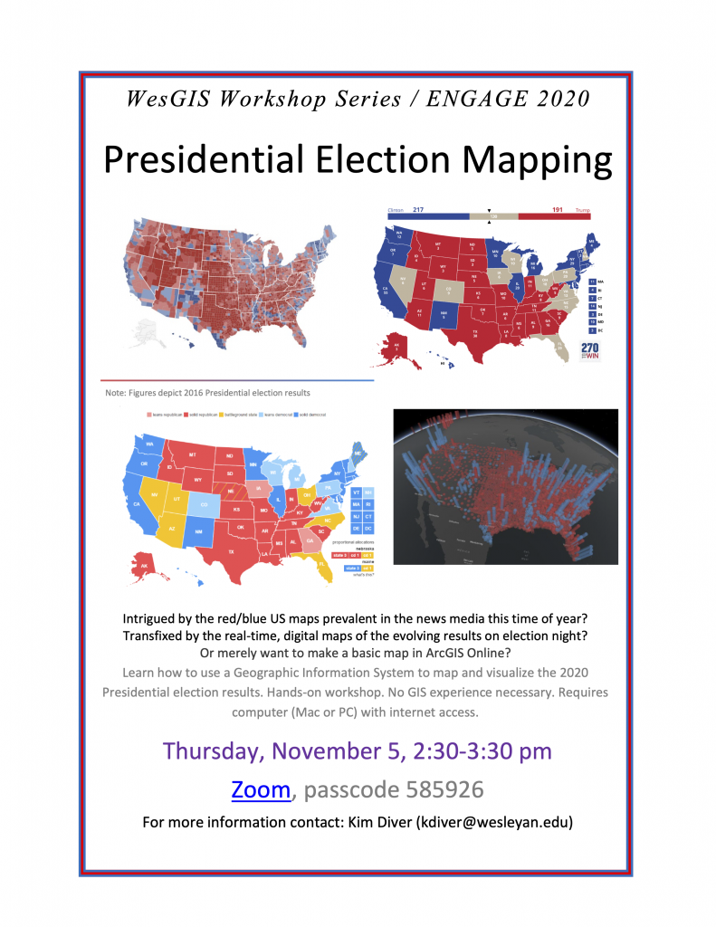
Intrigued by the red/blue US maps prevalent in the news media this time of year? Transfixed by the real-time, digital maps of the evolving results on election night? Or merely want to make a basic map in ArcGIS Online?
Learn how to use a Geographic Information System to map and visualize the 2020 Presidential election results. Hands-on workshop. No GIS experience necessary. Requires computer (Mac or PC) with internet access.
Thursday, November 5th, 2:30-3:30 EDT
Open to the Wesleyan community
Register here: https://wesleyan.zoom.us/meeting/register/tJEodOGpqjIoGtIUFmnQi4o0EQJnVTBMryVb
Passcode: 585926

The E2020 Speaker Series brings together community organizers, activists, and changemakers to talk about the 2020 election and movement-building. See the whole lineup here: https://engageduniversity.blogs.wesleyan.edu/2020/08/31/engage-2020-speaker-series/
The E2020 Speaker Series is supported by generous contributions from the Wintman Family Lecture Series Fund.


